Chronicle
The “Kupferberg” which can also be found as “Das hohe Gebirge” (“The high mountains”) on ancient maps, is 159,4 metres high (above sea level).
The area of the “Kupferberg“ was once part of the local authority Mülbitz. In 1890 the town council of “Großenhain” purchased the Mülbitz area from the landowner named Hässlich. The area reached from the “Mülbitz-Weßnitzer Weg” to the summit and to the former “Lehmgrubenweg” (the way from Zschauitz).
In 1890 the first elevated reservoir for the municipal water pipes was established with an attendant house east of it.
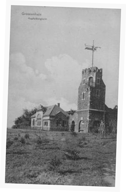
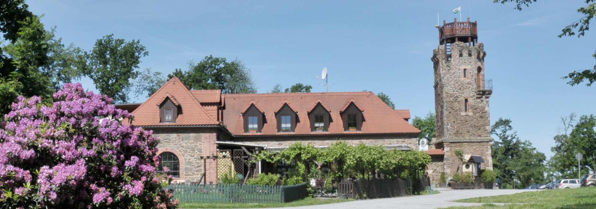
The middle part of the mountain was provided with cultivations by the adornment association of the city in 1894. An observation tower was built. From this tower one had a very good view until the 30’s. However, the tree stature became so high that at present there is nearly no free view and the tower would have to be raised about ten meters.
files/kupferberg/images/chronik-1.pngMuch more cultivations were done at the north and south slope by the city administration in 1909.
The “Rodelbahn” (toboggan run) was established in 1912.
In the autumn 1928 the “Schankwirtschaft” (public bar) which was built next to the former attendant house was opened.
At the west slope of the mountain there was the first urnfield of the Großenhainer cremation association in 1922. It was secularized in 1935 and the urns were buried at the cemetery.
The two photographs date from the year 1927.